Pro Field Report
Basic Information
Observation Details
Observation Date:
November 28, 2019Submitted:
November 29, 2019Observer:
SAC - VandenBos (off duty)Zone or Region:
Sawtooth and Western Smoky MtnsLocation:
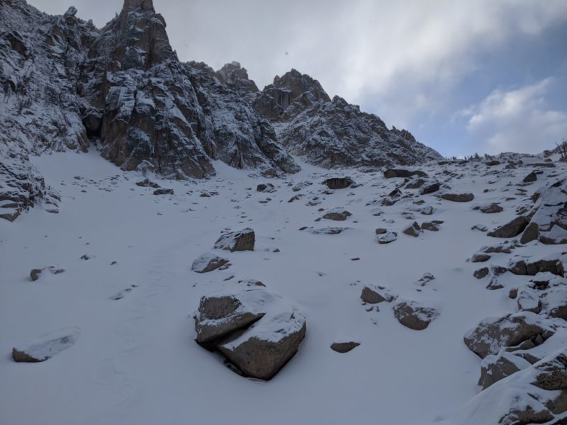
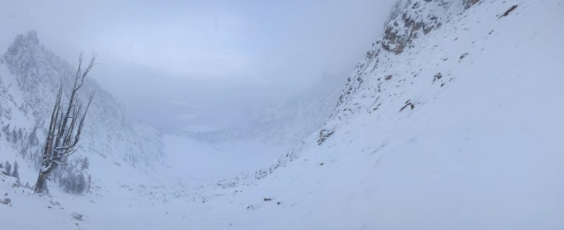
Upper Bench Lakes to Bench/Monolith divideSigns of Unstable Snow
Recent Avalanches?
None ObservedCracking?
IsolatedCollapsing?
None ExperiencedSnow Stability
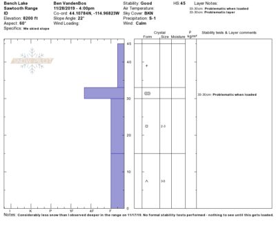
Stability Rating:
GoodConfidence in Rating:
Stability Trend:
SteadyBottom Line
Weak snowpack without a slab yet. Will be problematic once loaded.
Media/Attachments
Advanced Information
Weather Summary
Cloud Cover:
Mostly CloudyWind:
CalmCalm day with low clouds slowly passing through, snowing goose down fluff at rates up to S1. ~10cm accumulated from previous day (11/27), with another 6-8cm on 11/28. A touch of direct sun in places as the sun was setting.
Avalanche Observations
| # | Date | Location | Size | Type | Bed Sfc | Depth | Trigger | Comments | Photo |
|---|---|---|---|---|---|---|---|---|---|
| 1 |
Heyburn North N |
D1 | L | I-New/Old Interface |
AS-Skier c-Intentional |
None |
Intentionally triggered a D1 sluff in steep terrain, very small natural dry loose slides were occurring frequently, both involved new snow running on stiff, old snow underneath.
Snowpack Observations
Snowpack was considerably thinner than what I observed deeper in the range on 11/17/19 (towards the back of Redfish Lake Creek). Average HS of 30-60cm (see photo). Travel was challenging. Snowpack in sheltered, shady middle elevation terrain was intensely faceted, with 15-20cm of 3-5mm depth hoar below 15-20cm of 2-3mm solid facets. A 3-5mm crust (accompanied by facets above and below) sat on top of this. Upper elevation snowpack was highly variable, due to topography and influence of wind. .