Pro Field Report
Basic Information
Observation Details
Observation Date:
December 18, 2020Submitted:
December 18, 2020Observer:
SAC - Chris LundyZone or Region:
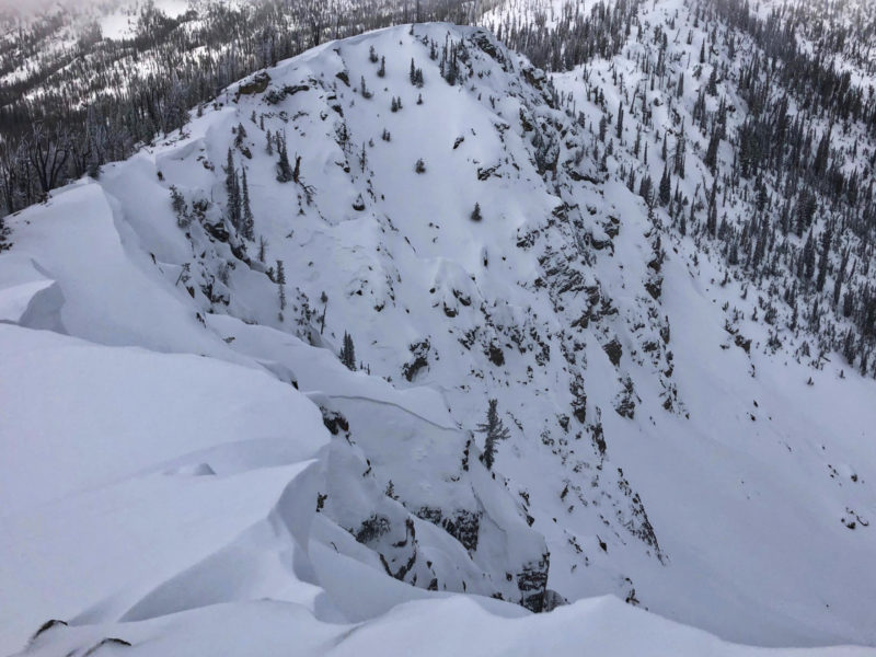
Banner SummitLocation:
Langer Area (7000-9000, S-E-N)Signs of Unstable Snow
Recent Avalanches?
YesCracking?
IsolatedCollapsing?
WidespreadSnow Stability
Stability Rating:
FairConfidence in Rating:
HighStability Trend:
SteadyBottom Line
10-12 inches of settled new snow has begun to build a slab atop the extremely weak faceted old snow surface, but isn't quite enough to produce widespread instability. It would likely take added loading from wind transport or a very steep slope to trigger an avalanche. Still, signs of instability such as widespread collapsing and very poor test scores have me traveling conservatively and provide indications of things to come with the next load.
Media/Attachments
Advanced Information
Weather Summary
Cloud Cover:
OvercastWind:
Light , SWSkies were initially broken this morning, and it looked as though at least some clearing was imminent. Late morning, cloud cover increased again and it socked in at times.
Avalanche Observations
| # | Date | Location | Size | Type | Bed Sfc | Depth | Trigger | Photos | Details |
|---|---|---|---|---|---|---|---|---|---|
| 5 |
Dec 17, 2020 (+/- 1 day) |
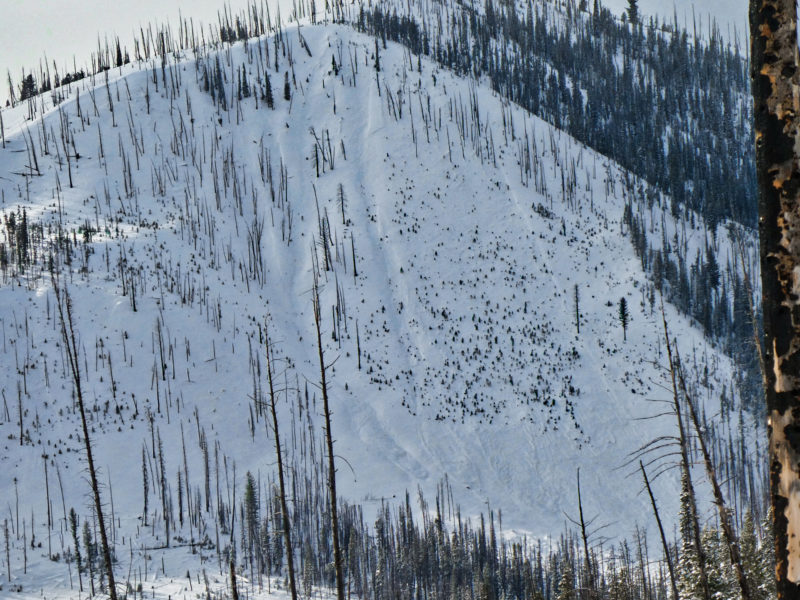
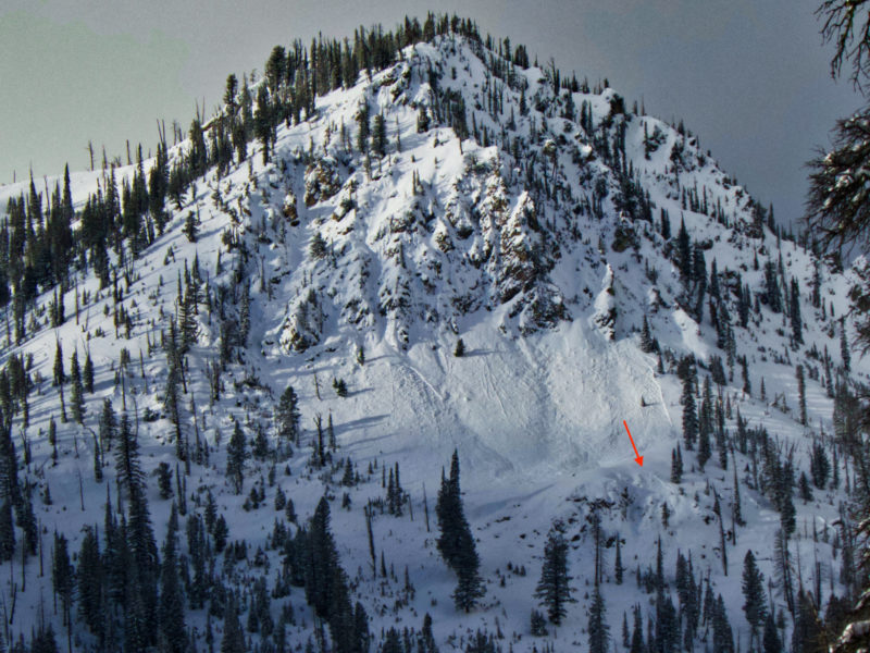
Langer area NE 8000ft |
D1.5 | SS-Soft Slab | N-Natural |
|
Report | ||
| 1 |
Dec 17, 2020 (+/- 1 day) |
Langer area NE 9000ft |
D2 | SS-Soft Slab | N-Natural |
|
Report |
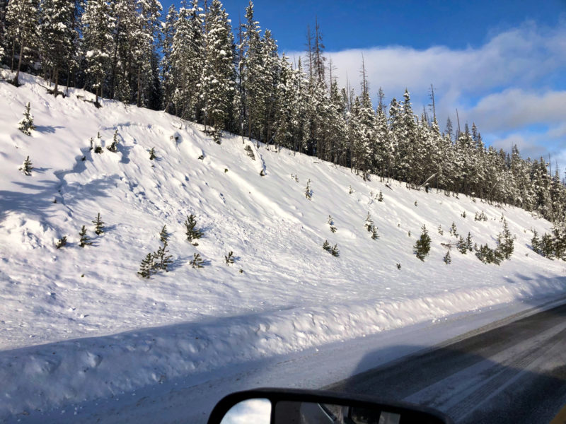
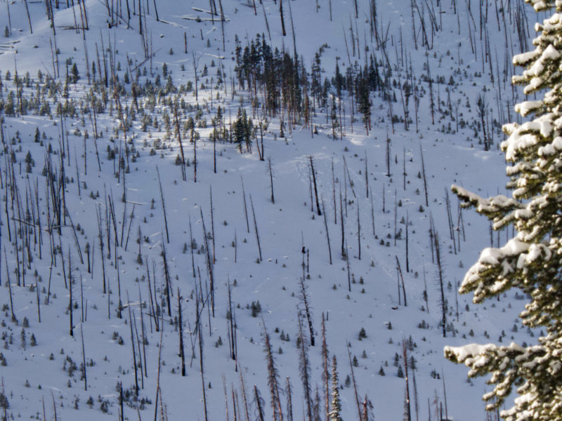
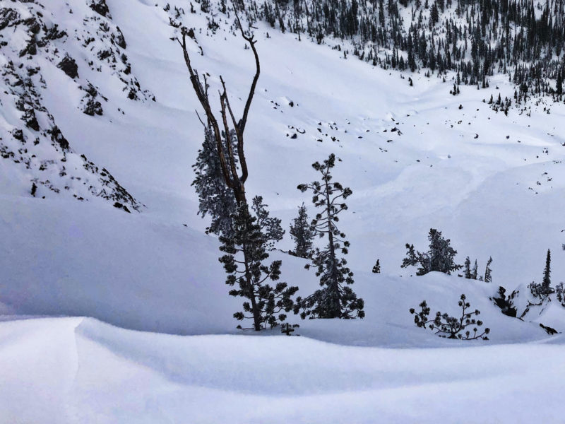
I also triggered a small hanging snowfield with a cornice drop on a 9000', NE facing slope that produced a D1 slide. In addition to the avalanches listed, there were several small (likely) plow-triggered slides on cut banks along Highway 21. The visibility today was poor, and I suspect with better light more small persistent slab avalanches would have been apparent.
Snowpack Observations
In the terrain observed, 25-30cm of settled recent snow sits atop the extremely weak 12/11 near surface facets. Collapsing was widespread, although the slab was soft enough that cracking was isolated. Some of the collapses traveled a significant distance. Collapsing was experienced where there was a thin crust between the facets and the slab, and where there was no crust. I did not spend much time on due S aspects, but I didn't feel any collapsing on those slopes where a stout crust existed.
@8400', E: HS 95cm. 28cm of settled snow atop the 12/11 FCsf. The base of the slab was F+, and the FC are F--. Test results on 12/11: ECTPVx2, ECTP2, PST9/100end. No basal weak layer present.
Despite a number of collapses while walking along a ridge, I did not remotely trigger any 35-38 degree slopes below me. Based on the observed avalanche activity, it appeared that wind loading and/or a 40+ degree slope was needed to trigger an avalanche.
Avalanche Problems
| Problem | Location | Distribution | Sensitivity | Size | Comments |
|---|---|---|---|---|---|
 Persistent Slab
|
|
Weak Layer(s):
Dec 11, 2020 (FCsf)
Comments: The layer exist at lower elevations as well, but there is less of a load. D1-1.5 is the expected size, although D2's are possible. |
Terrain Use
I would have felt very uncomfortable on any slope steeper than 35 degrees, especially if wind loaded. I avoided avalanche terrain today due to solo travel.