Pro Field Report
Basic Information
Observation Details
Observation Date:
January 16, 2021Submitted:
January 16, 2021Observer:
SAC - Lundy, GuessZone or Region:
Sawtooth and Western Smoky MtnsLocation:
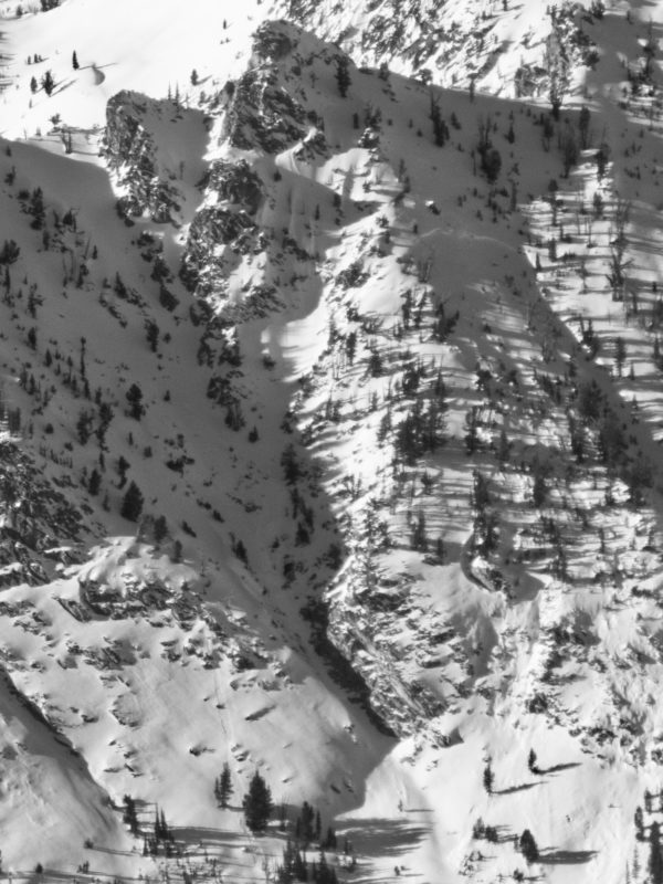
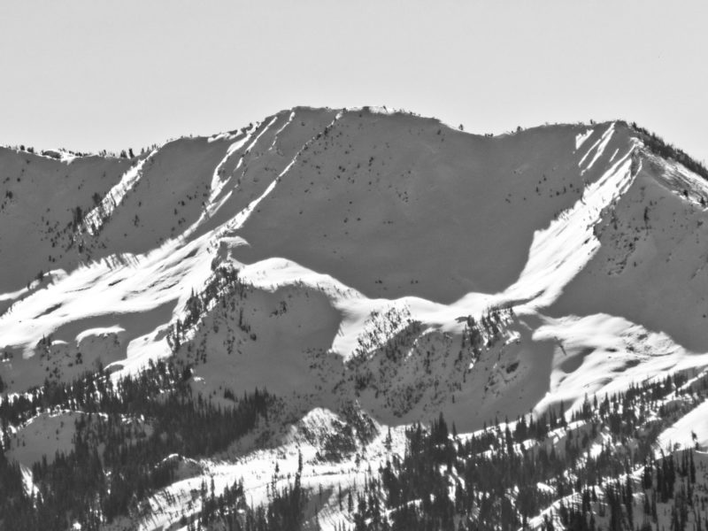
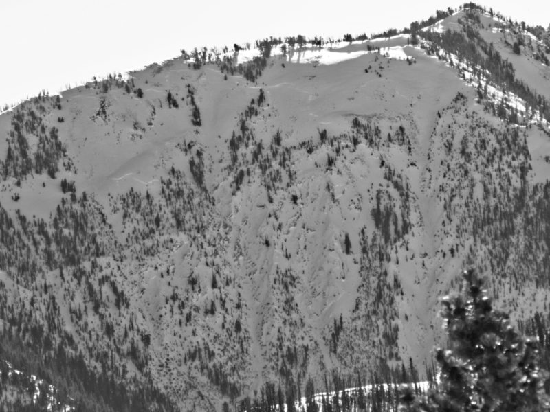
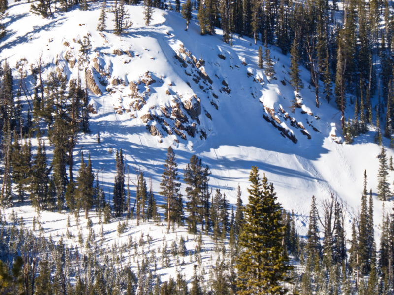
Southern Sawtooths near Cabin Creek (7500-9800', SE-E-NE)Signs of Unstable Snow
Recent Avalanches?
None ObservedCracking?
IsolatedCollapsing?
IsolatedSnow Stability
Stability Rating:
FairConfidence in Rating:
HighStability Trend:
SteadyBottom Line
Persistent slab problem is alive and well as indicated by collapsing/cracking and poor snowpack test scores. Problem trending towards deep slab at upper elevations.
Media/Attachments
Advanced Information
Weather Summary
Cloud Cover:
Mostly SunnyWind:
Light , NWNew/Recent Snowfall:
7cm of HN from yesterday's stormDidn't feel as warm as nearby weather stations indicated, maybe due to cool wind.
Avalanche Observations
| # | Date | Location | Size | Type | Bed Sfc | Depth | Trigger | Photos | Details |
|---|---|---|---|---|---|---|---|---|---|
| 1 |
Jan 13, 2021 (+/- 3 days) |
South ridge of Parks Peak E 9400ft |
D2 | O-Old Snow | N-Natural |
|
Report | ||
| 4 |
Jan 13, 2021 (+/- 3 days) |
Eureka Gulch NE 9800ft |
D2 | N-Natural |
|
Report | |||
| 1 |
Jan 13, 2021 (+/- 3 days) |
Past Alturas Lake N 9400ft |
D3 | O-Old Snow | N-Natural |
|
Report | ||
| 1 |
Jan 13, 2021 (+/- 3 days) |
Mid elevation terrain feature SE of McDonald peak E 8900ft |
D2 | SS-Soft Slab | N-Natural |
|
Report |
Saw a few unreported avalanches, but nothing fresh and all matched existing pattern.
Snowpack Observations
HS ranged from 95cm at 7550' to 160cm at 9500'. Rain crust present to 8000'.
@8200', ENE, 25*: This slope had collapsed and cracked on approach - but we did not remotely trigger an adjacent 35+* slope. HS 100cm. 12/11 down 62cm, 4F slab over F- FC. ECTP15 with gusto (see video). Terrible layering!
@9500', ENE, 20*: HS 165cm. This slope was subtly wind loaded. 12/11 down 100cm, 1F to P slab over 4F FC. ECTX. PST37/110end (see video). Deep slab problem...
It was interesting that the rain crust is around 500' higher here than it was yesterday in the Banner Summit zone, while the snow above the rain line on Banner was much stiffer and denser.
Avalanche Problems
| Problem | Location | Distribution | Sensitivity | Size | Comments |
|---|---|---|---|---|---|
 Persistent Slab
|
|
Layer Depth/Date: 60cm Weak Layer(s): Dec 11, 2020 (FCsf) Comments: Rose indicates observed location. Classic persistent problem at mid elevations. ECTP15, collapsing, cracking, etc. |
|||
 Deep Persistent Slab
|
|
Layer Depth/Date: 80-100cm Weak Layer(s): Dec 11, 2020 (FCsf) Comments: Rose indicates observed location. ECTX, PST37/100end |
Terrain Use
We traveled on some small slopes in the low 30s, otherwise we avoided avalanche terrain.