Pro Field Report
Basic Information
Observation Details

Observation Date:
October 21, 2021Submitted:
October 21, 2021Observer:
SAC - Chris LundyZone or Region:
Galena Summit and Eastern MtnsLocation:
Driving from Stanley to KetchumSigns of Unstable Snow
Recent Avalanches?
None ObservedCracking?
None ExperiencedCollapsing?
None ExperiencedBottom Line
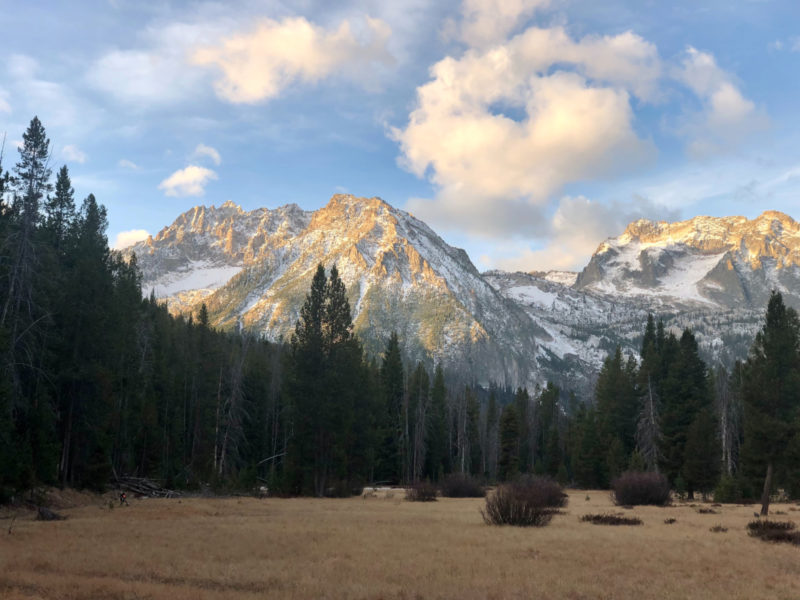
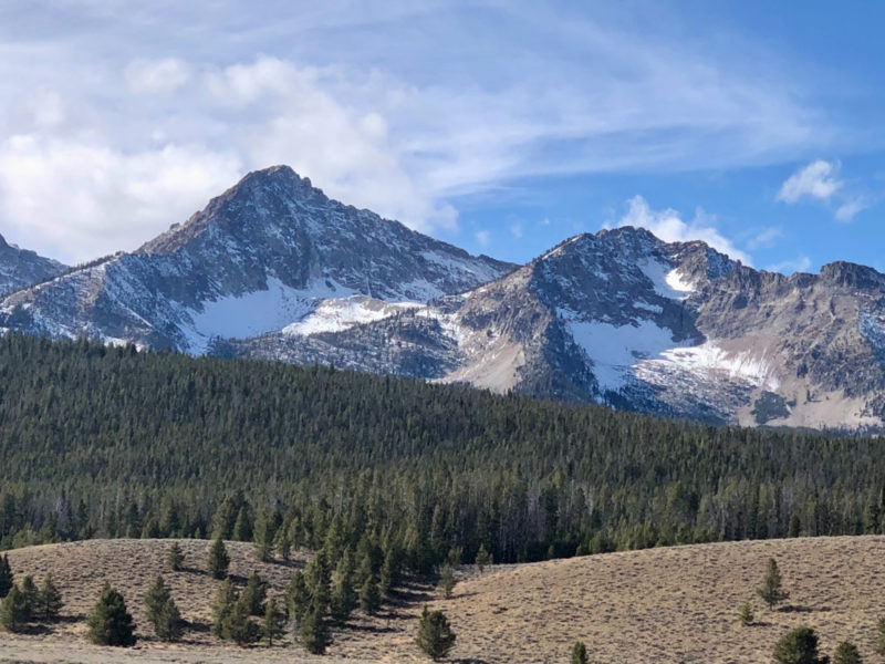
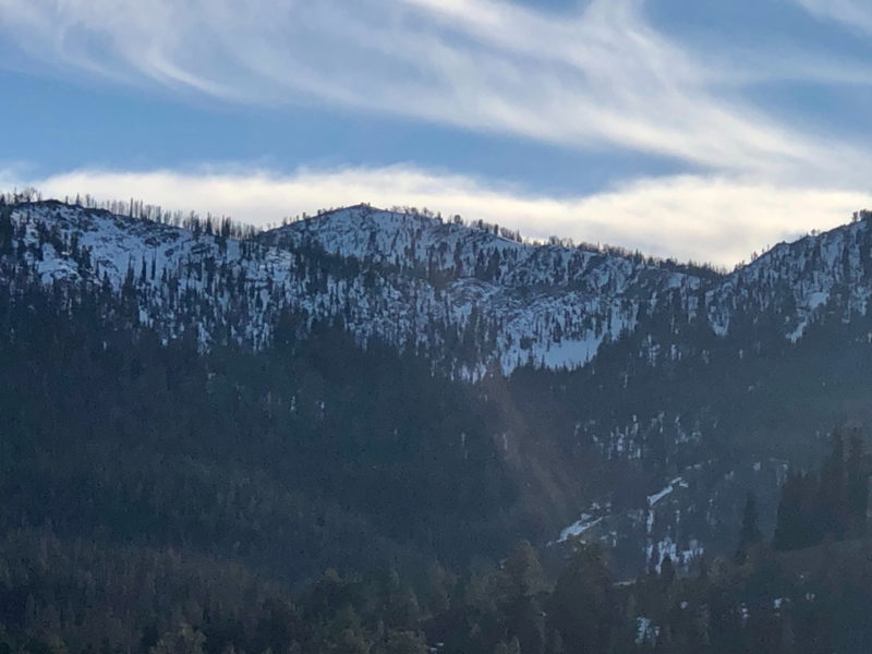
Quick obs en route to an appointment in Ketchum. Somewhat continuous snow cover on northerly aspects above about 9000' in the Sawtooths to Galena Summit. This elevation increases as you head south - near Ketchum, looks like only the Pios are high enough to have much snow coverage. In these areas, there may be continuous enough coverage to form a weak layer and/or bed surface for the storm forecasted to start this weekend. Titus Ridge shady slopes looked to have enough snow for a potential weak layer. Galena Peak's NW bowl had surprisingly consistent coverage. Baker Creek area had much less snow - at least the terrain you can see from the highway.
Media/Attachments