Pro Field Report
Basic Information
Observation Details

Observation Date:
October 21, 2021 - October 22, 2021Submitted:
October 22, 2021Observer:
SAC - Scott SavageZone or Region:
Sawtooth and Western Smoky MtnsLocation:
driving through all zones except Banner (most aspects and elevations)Signs of Unstable Snow
Recent Avalanches?
None ObservedCracking?
None ExperiencedCollapsing?
None ExperiencedBottom Line
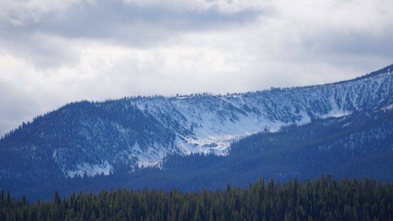
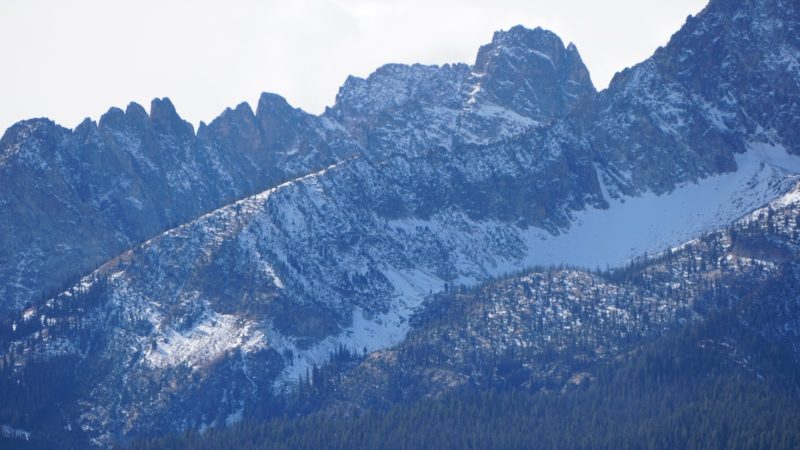
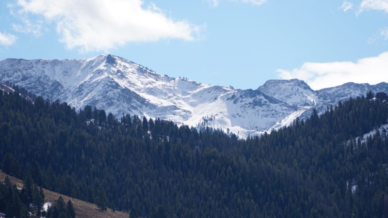
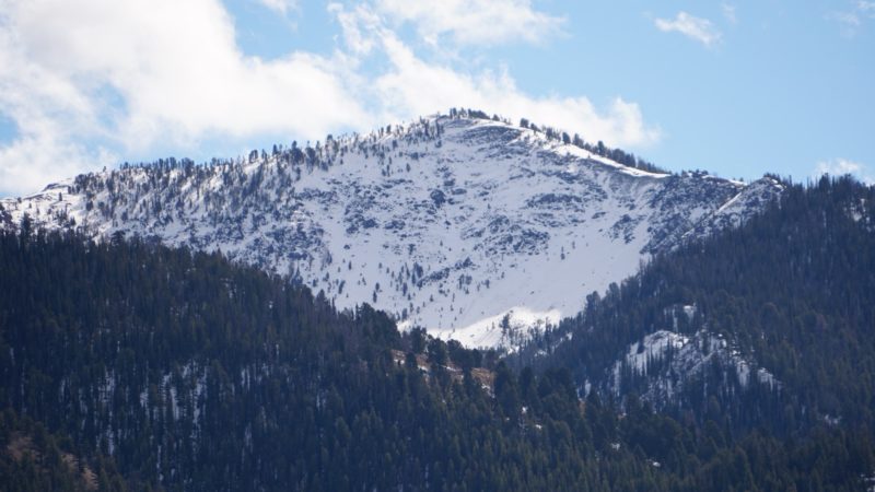
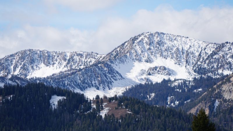
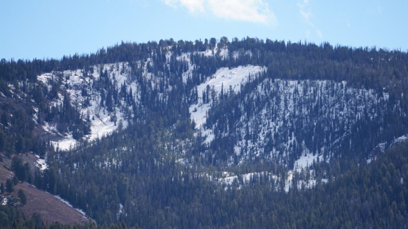
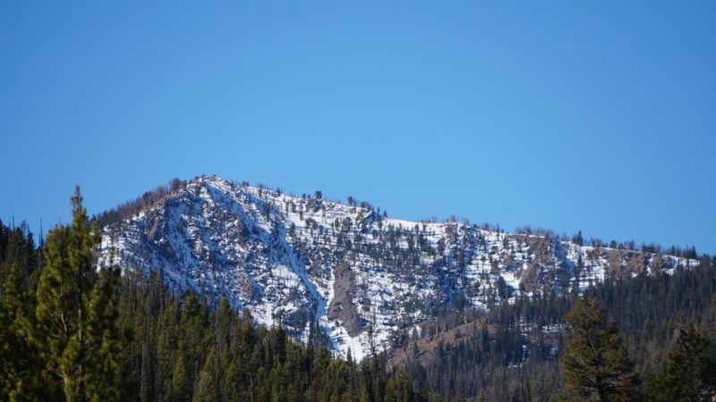
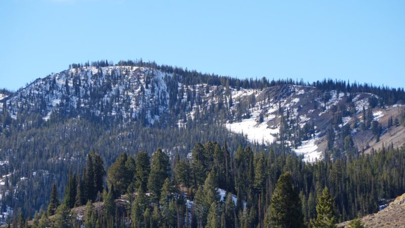
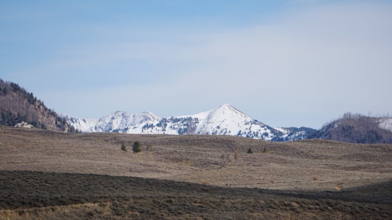
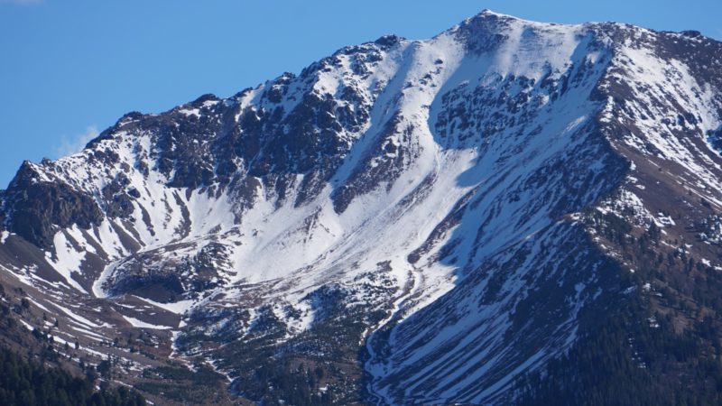
More in-depth version of Chris' snow cover observations from Thursday: My goal was to understand/record the extent of early season snow cover coming into the expected storm this weekend (Oct 24-25). The existing snow cover is likely a mess of crusts and facets+crusts. If we get feet of snow in the coming days, avalanches will be possible on slopes with existing snow cover. If we get a big dump, I'd stay away from slopes where the old snow exists - give them some time to stabilize. See sample photos below and many more in Google Drive via the photo external link.
Media/Attachments
Advanced Information
Weather Summary
Rain/snow began at about 4 PM on Friday afternoon, potentially burying the old snow cover. At that time, most remote weather stations were still above freezing; the initial precip was probably rain in all but the highest locations.
Snowpack Observations
Extent of old/existing snow cover: Most NW-N-NE aspects above 9000' have snow. On the "shoulder aspects" (E and W-NW), you generally have to go higher in elevation to find snow - but it's still there in the alpine. On sunnier aspects (W-SW-S-SE), you are most likely to find old snow in the high alpine above 10,000' and only above 11,000' in some ranges. Between 8000-9000', you will find old snow in some mountain ranges: the western Smoky, Sawtooth, and White Cloud Mtns appear to have the most snow between 8000-9000'. Summary: Assume you'll find old snow at the base of the snowpack on high elevation, shady slopes.
We don't have any recent first-hand observations of the old snow, but we expect it to be a mixture of crusts and weak, sugary faceted crystals.