Pro Field Report
Basic Information
Observation Details
Observation Date:
March 8, 2022Submitted:
March 8, 2022Observer:
SAC - DavisZone or Region:
Soldier and Wood River Valley MtnsLocation:
Salt Bowns Road (All aspects, 5,700-8,500')Signs of Unstable Snow
Recent Avalanches?
None ObservedCracking?
IsolatedCollapsing?
None ExperiencedSnow Stability
Stability Rating:
Very GoodConfidence in Rating:
HighStability Trend:
SteadyBottom Line
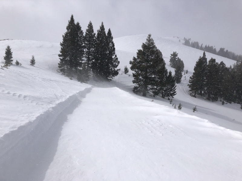
New snow and plenty of wind were forming fresh, thin drifts. These were not a problem where I traveled (yet), but I imagine you could find thin wind slabs in isolated, wind-exposed areas.
Media/Attachments


Advanced Information
Weather Summary
Cloud Cover:
Mostly CloudyTemperature:
20 FWind:
Moderate , NWNew/Recent Snowfall:
HN = 2-5 cm1 cm at Couch TH. Up to 5 cm along Salt Bowns Rd. Localized, squally snowfall. Bouts of sun were turning the new snow moist as soon as the squalls passed. Blustery wind, drifting onto Salt Bown Rd and making visible small "dunes" on adjacent slopes.
Avalanche Observations
No avalanches were observed. Of note: I did not observe any wet loose from the recent warm-up despite glassing into some favorable middle and lower elevation terrain.
Snowpack Observations
The snowpack is much simpler here than further north. There is no "slab" above the drought layer just 1-2" of recent snow.
The drought interface is really only one main crust below about 8,300'. It's a melt-freeze crust of varying thickness ranging from essentially full-depth on sunnier slopes to only about 15 cm on steep, shadier slopes. On these shadier slopes, the underside of the crust was heavily faceted. I also found percolation columns extending through the majority of the snowpack surrounded by dry facets.
Above about 8,300' another subtle crust appears on shadier slopes but with such little snow since Jan. 6th these were very close together. Above 8,500' on shaded I'd expect both crusts to disappear and the new snow is simply falling on facets.

Avalanche Problems
I observed small drifts at the middle/upper transition. I'd imagine thin wind slabs were forming in some areas (D1) but you'd need at least a few more inches of snow before they'd scratch D2 territory.
Terrain Use
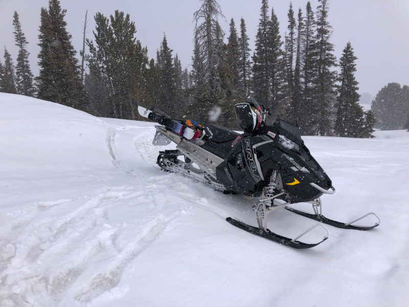
Terrain use was only limited by ability and snow coverage.