Basic Information
Observation Details
Observation Date:
April 5, 2022Submitted:
April 5, 2022Observer:
SAC - Davis, VandenBosZone or Region:
Galena Summit and Eastern MtnsLocation:
Headwaters near Saviers Pk (All but E, 7,600-9,700')Signs of Unstable Snow
Recent Avalanches?
None ObservedCracking?
IsolatedCollapsing?
None ExperiencedSnow Stability
Stability Rating:
FairConfidence in Rating:
ModerateStability Trend:
SteadyBottom Line
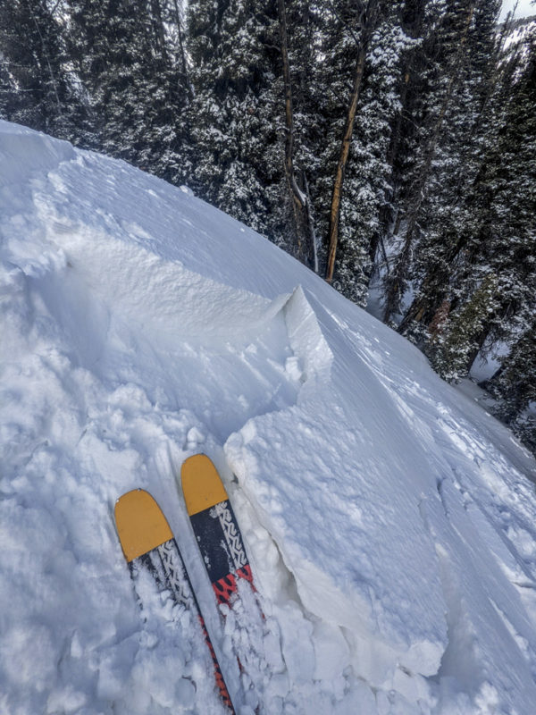
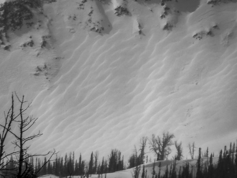
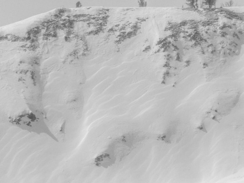
We observed obvious signs of recent wind-loading and slab formation in middle and upper elevation terrain. There was enough wind-drifted snow to keep us out of a fair bit of terrain. The sun popped in and out but had not initiated any loose snow avalanches as of 3:00 PM.
Media/Attachments
Advanced Information
Weather Summary
Cloud Cover:
Mostly CloudyTemperature:
Teens FWind:
Moderate , NWNew/Recent Snowfall:
5 cm at Headwaters Parking. 15-20 cm @ 9,000-9,500'. Hard to say above that due to wind.It was mostly cloudy although the sun popped through as the clouds sped by. Cold, moderate NW wind. Obvious flagging in the Smokys in the AM and "snow devils" later in the day. The sun moistened the surface enough on some slopes for a thin crust tomorrow.
Avalanche Observations
I had short-lived but decent views into the Boulders and portions of the Smokys. I did not see any obvious large avalanches.
Snowpack Observations
NE @ 9,000': We only looked at the upper ~90 cm. ECTNs (1 & 2 taps) on the storm interface down 15 cm. ECTN19, 20 over a crust down 45 cm. Percolation columns were numerous and thick, moving water deep into the mostly faceted upper 3' of the snowpack.
Avalanche Problems
| Problem | Location | Distribution | Sensitivity | Size | Comments |
|---|---|---|---|---|---|
 Wind Slab
|
|
Layer Depth/Date: 30-60 cm Comments: Obvious wind affects above about 9,000' in this area. See photos, video. We got the impression that these slabs would heal fairly quickly, given the warm start to the storm and rough interfaces. |
Terrain Use
We actively looked for and avoided wind slabs. We skied steep slopes that were scoured or where the recent drifts were thin.


