Basic Information
Observation Details
Observation Date:
November 21, 2022Submitted:
November 23, 2022Observer:
SAC - VandenBos (off duty)Zone or Region:
Soldier and Wood River Valley MtnsLocation:
East Fork Big Wood (6,500-8,000, primarily W-NW-N-NE)Signs of Unstable Snow
Recent Avalanches?
None ObservedCracking?
None ExperiencedCollapsing?
None ExperiencedSnow Stability
Stability Rating:
Very GoodConfidence in Rating:
HighStability Trend:
SteadyMedia/Attachments


Advanced Information
Weather Summary
Cloud Cover:
Mostly SunnyWind:
LightSnowpack Observations
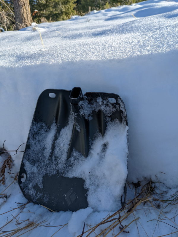
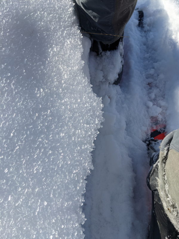
HS varies from 25-35cm at valley bottoms to 45-55cm at 8,000'. In the valley bottom and extending up about 500' vertically, the entire snowpack has faceted and all snow is F to F-. As you climb, you can feel the snow get a bit deeper and also feel a bit more structure to the mid-pack. (I was joking with a friend that it sounds a bit desperate to refer to lower pack, mid pack, and upper pack in a 55cm snowpack, but that's where we are at!)
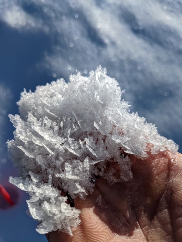
A widespread coat of surface hoar was present at all elevations. On aspects that get more sun, most of the SH that is forming is being melted during the day and a thin, breakable crust exists here. On shady aspects the SH clearly shows evidence of multi-day growth. Many xtals are intergrown and have secondary and tertiary xtals growing off their faces. This process has formed what I like to call "Sun Valley Surface Hoar" (this is not a formal classification, nor is it unique to the area. we just happen to build it with some frequency). As the SH xtals intergrow, this matrix builds into a subtle crust that is a bit more resistant than the very weak facets underneath. It will be interesting to watch how this surface behaves once buried. In some places we may have a true SH problem, but it is looking like the bigger, more widespread issue will be the facets. Either way, this is not a pretty base for our future snowpack.
Avalanche Problems
I did not directly encounter any avalanche problems, but I was on the lookout for recently formed wind slabs as I traveled. If you went to a steep enough slope it would have been pretty easy to initiate some "facet-lanches", which are dry loose sluffs composed entirely of facets.
Terrain Use
Terrain use was dictated primarily by snow coverage.

