Pro Field Report
Basic Information
Observation Details
Observation Date:
December 7, 2022Submitted:
December 10, 2022Observer:
SAC - DavisZone or Region:
Soldier and Wood River Valley MtnsLocation:
E. Fork Baker Ck - Fox Pk (All aspects, 6,700-9,100')Signs of Unstable Snow
Recent Avalanches?
None ObservedCracking?
IsolatedCollapsing?
Isolated
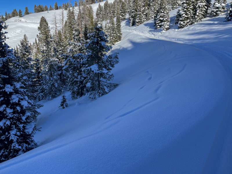
Most of my travel was on well-used trails and skin tracks. Cracking and collapsing in undisturbed terrain all around Fox Pk.
Snow Stability
Stability Rating:
FairConfidence in Rating:
HighStability Trend:
SteadyBottom Line
Recent avalanches, cracking and collapsing, and poor snowpack structure all point toward the likelihood of human-triggered slides in this zone.
Media/Attachments
Advanced Information
Weather Summary
Cloud Cover:
ClearWind:
CalmClear and cold.
Snowpack Observations
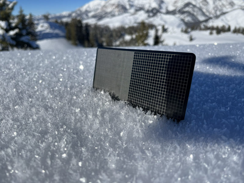
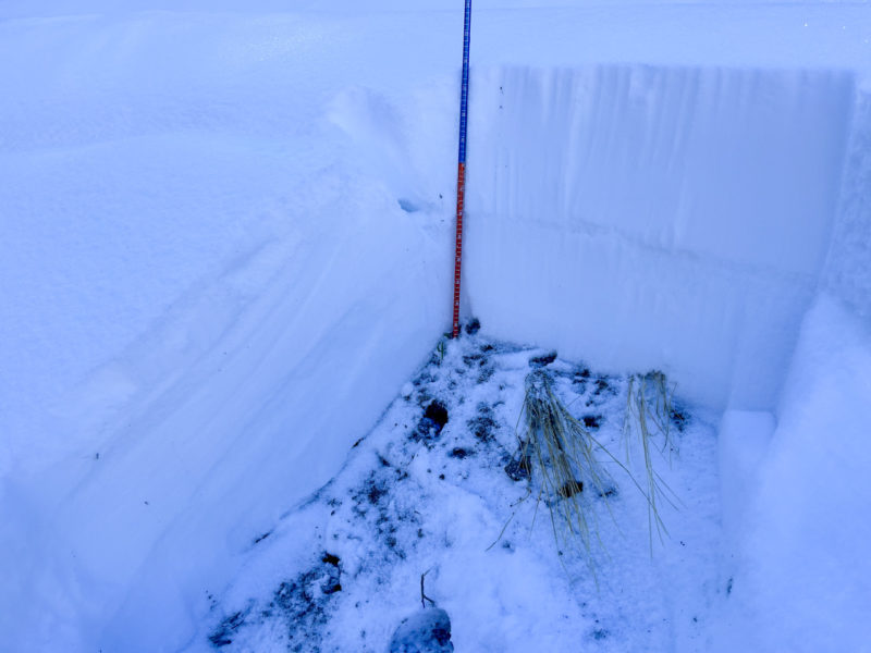
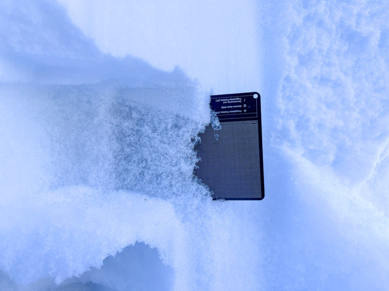
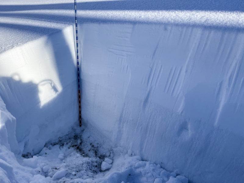
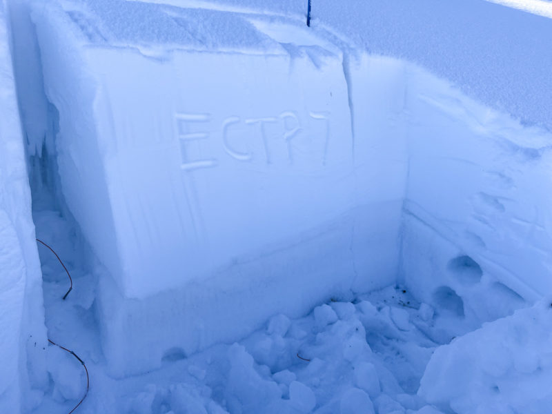
See images for pits. All three pits (7,200' E | 8,800' WNW | 9,100' ESE) showed poor snowpack structure with propagating ECTs failing on 10 hits or less. Failure layer was 2-4 mm facets. On the ESE pit, these facets were under a melt-freeze crust.
The snowpack at middle and lower elevations on W-SW-S is still very thin in this area with plenty of sage and a general lack of connected basal weak layers.
Avalanche Problems
| Problem | Location | Distribution | Sensitivity | Size | Comments |
|---|---|---|---|---|---|
 Persistent Slab
|
|
Weak Layer(s):
Nov 27, 2022 (FC)
Comments: Shaded where observed. Middle elevation W is a question mark. I don't think the snow is deep enough here but almost certainly is further into Baker Ck proper. |
Terrain Use
I avoided avalanche terrain.