Public Field Report
Observation Details
Observation Date:
December 19, 2020Submitted:
December 22, 2020Zone or Region:
Challis Area and Lost RiversActivity:
Walking/HikingLocation:
Leatherman/Bad Rock PeakTriggered Avalanches
Did you trigger any avalanches?
YesWas it intentional?
NoAvalanche Type:
Soft SlabSize:
Size 2: Could bury, injure, or kill a personElevation:
10,900'Aspect:
SWComments:
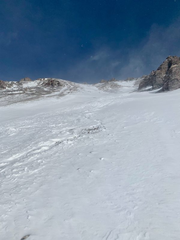
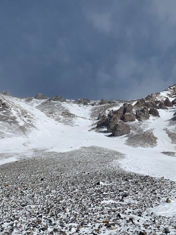
1.5'-2' deep wind slab at top of gulley. Initial break maybe 50' wide, but funneled into narrow gulley, then into wide-long run out area. Avalanche at 10,900' and finished at 10,300'Signs of Unstable Snow
None reported
Observations
Narrow gulley with mostly sugary snow that widened slightly at top near top of ridge/saddle. Snow at top became denser and harder - likely wind impacted. There were intense winds throughout day. 1.5'-2' slab broke at top and funneled through the gulley. Gulley had an S-turn in it, so not a straight down avalanche path. Lots of loose rocks make up the ground underneath and walls of gulley. All travel was on foot
Media